
- Drew Richards

- Jul 27, 2025
- 1 min read
If we can make it through another week of very hot and humid conditions, the long range data is hinting at a cool down for the first week of August!
First off, Heat Advisories continue for today for much of the state. This means the heat index will be over 105 degrees.
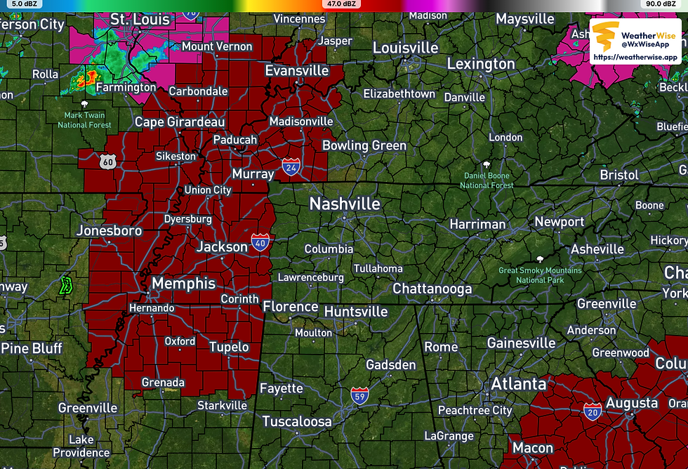
The orange shaded areas are where the heat advisory is in place...

If the heat advisory isn't enough, we have an Extreme Heat Watch in place for west TN. This is for the heat expected from Monday through Wednesday. The NWS mentions heat index readings up to 115 possible!
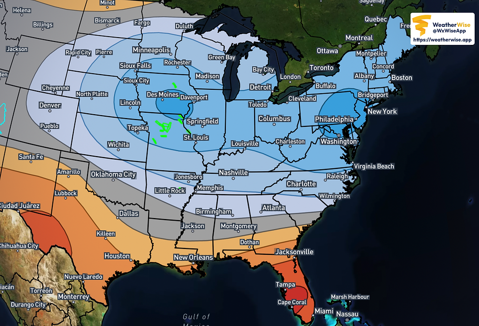
Stay cool in this heat, and keep checking back for updates on the possible cool down for next week! This is the days 6-10 temp outlook...showing the possible cooler temps coming!
Make it a great Sunday!


